Bintang Subsea completes Saturation Diving Project as Main Contractor
[vc_row][vc_column][vc_column_text][real3dflipbook id=”1″][/vc_column_text][/vc_column][/vc_row][vc_row][vc_column][vc_btn title=”Download the 4th Bintang Subsea Newsletter” color=”primary” align=”center” css_animation=”appear” link=”url:http%3A%2F%2Fbintangsubsea.onpressidium.com%2Fwp-content%2Fuploads%2F2016%2F02%2FWhats-on-Star-4th-Edition.pdf|title:Whats%20on%20Star%204th%20Edition|” button_block=”true”][/vc_column][/vc_row]
[vc_row][vc_column][vc_column_text css_animation=”appear”]
Bintang Subsea have completed multiple large scale, integrated marine studies, involving geophysical & metocean surveys, topographic surveys and fast time navigation simulation, as part of the preliminary design and site selection process for future oil terminals in Indonesia. Collaborating with specialists from the UK, and using the latest survey data processing, ship simulation and 3D visualization software, clients were impressed with the quality and unique range of products, delivered both on-time and within budget
[/vc_column_text][/vc_column][/vc_row]
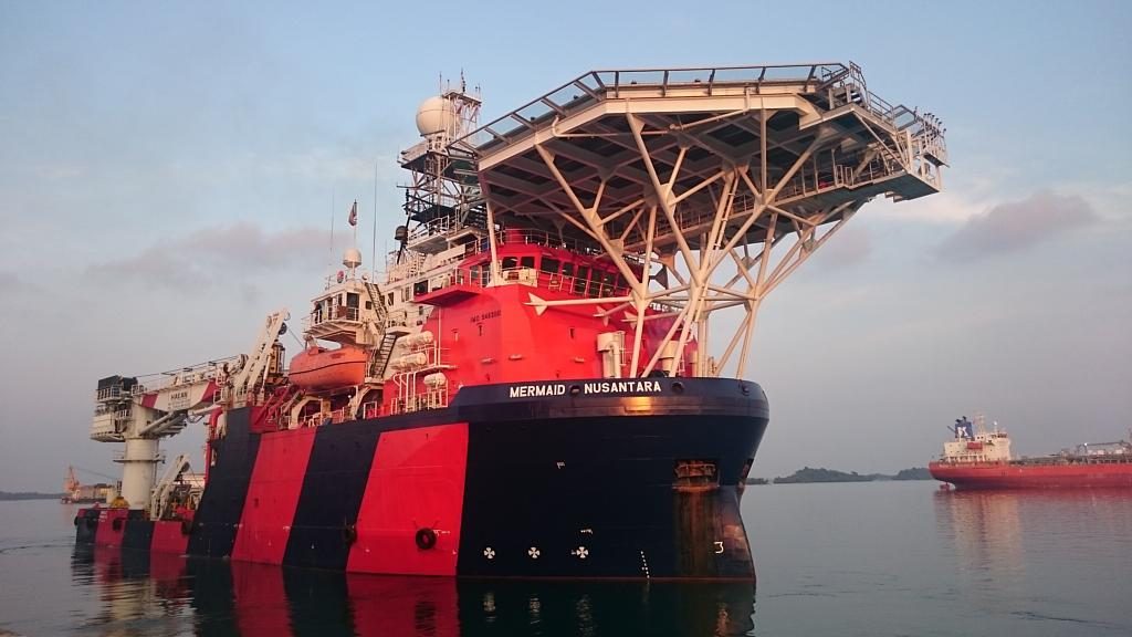
[vc_row][vc_column][vc_column_text css_animation=”appear”]
Bintang Subsea recently provided critical survey and positioning services, as part of a complex, yet very successful subsea hyperbaric welding project. The project required timely and accurate high resolution seabed surveys, ROV and diver based pipeline inspections, and high precision positioning and stability monitoring of subsea piling to support the efficiency and safety of the works
[/vc_column_text][vc_separator][vc_single_image image=”5331″ img_size=”full” css_animation=”appear”][vc_separator][/vc_column][/vc_row]