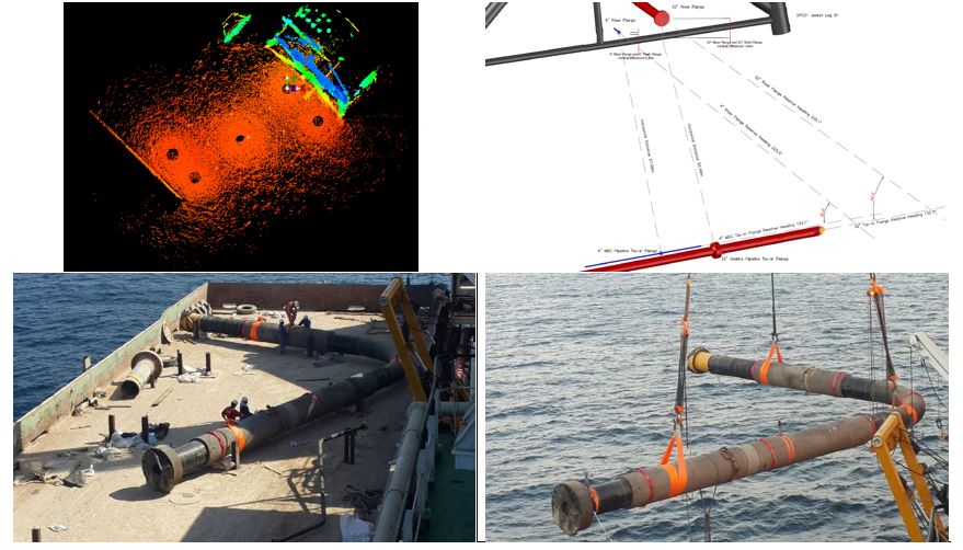
Subsea Spool Piece Metrology Campaigns in the Middle East

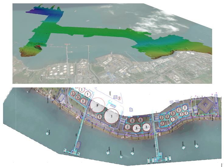
Bintang Subsea have recently completed integrated Bathymetry, Geophysical, Geotechnical and Topographic surveys for proposed subsea pipelines and port development project. The project included seabed and sub-seabed strata mapping, tidal analysis and aerial photogrammetry flown by drone to survey onshore areas.
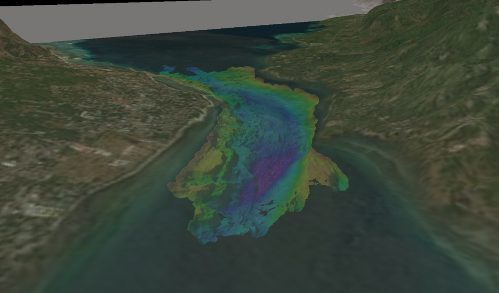
Bintang Subsea recently completed bathymetry and metocean surveys in Indonesia. The project consists of the world’s largest planned tidal power plant. Bintang Subsea delivered Bathymetry and complex Metocean survey data including waves, currents and tidal analysis to the client to assist with the engineering design.
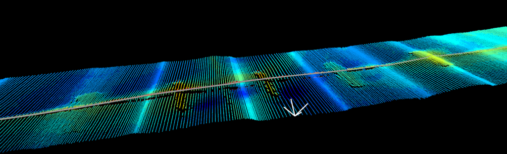
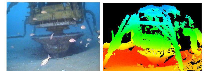
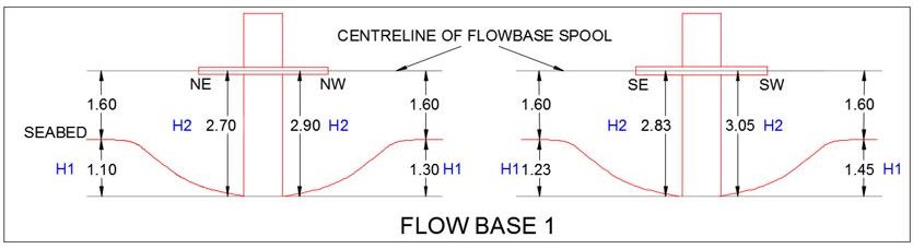
Bintang Subsea have recently completed Subsea Asset Scour Assessment Surveys on subsea assets utilising acoustic sonar multibeam equipment in water depths of 100m, providing the client with a cost effective and time saving option. Accurately measuring the extents of scouring occurring at valuable subsea assets.
Bintang Subsea recently completed pipeline inspection surveys in Australia on 10 pipelines totaling 130km`s of pipeline overall. Bintang Subsea used state of the art multibeam echosounder equipment to identify pipeline integrity and anomalies along the pipeline routes. Bintang Subsea also provided surface and subsea positioning for vessel and ROV during the pipeline and asset inspection campaign.